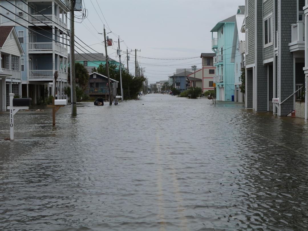
Coastal communities face far greater flood risk than current sea level rise projections indicate, according to new research revealing that land subsidence—the gradual sinking of ground surfaces—is dramatically accelerating relative sea level rise in regions home to hundreds of millions of people.
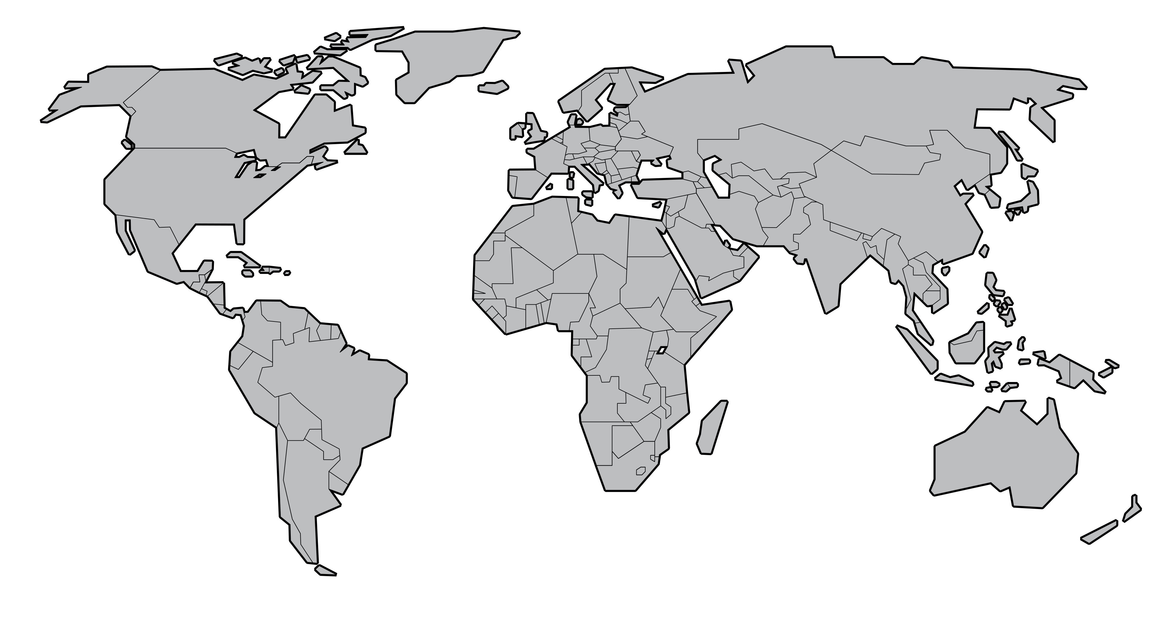
The study, published in Nature Climate Change, integrates satellite measurements of land elevation changes with ocean level data to show that the combined effect creates flooding timelines decades earlier than anticipated in major coastal cities from Jakarta to Lagos to Houston.
"We've been focused almost exclusively on rising oceans while ignoring sinking land," explained lead author Dr. Matt Wei, coastal scientist at the University of Rhode Island. "In many of the world's most vulnerable cities, the ground is subsiding faster than the sea is rising—which means relative sea level change is two to four times worse than global averages suggest."
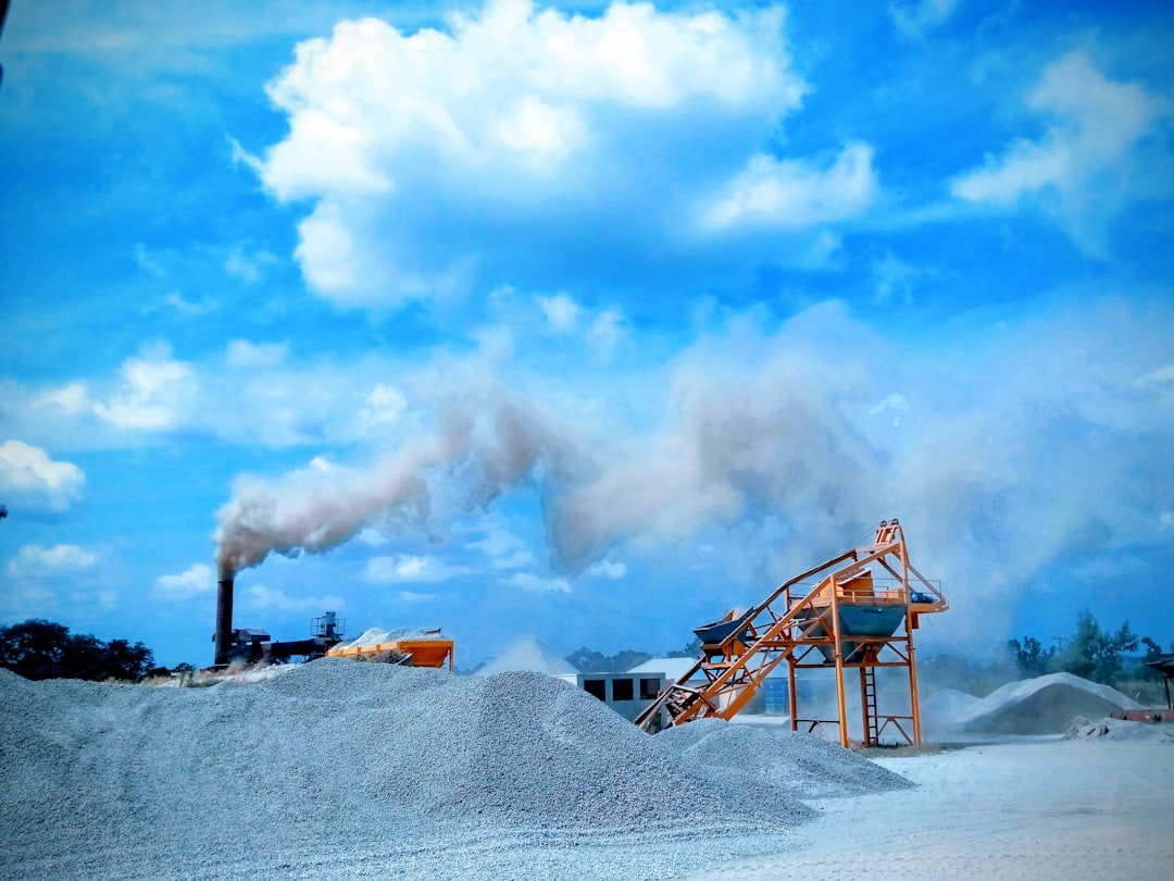
The research identifies groundwater extraction as the primary driver of accelerated subsidence in urban coastal zones. As cities pump aquifers for drinking water and industrial use, underground sediments compact, causing surface elevation to drop. In Jakarta, sections of the city are sinking at rates exceeding 25 centimeters per year—more than 100 times the global average sea level rise rate.
The implications are staggering. Current IPCC projections estimate that sea level rise will displace between 150 and 280 million people by 2100. However, when subsidence is factored into localized risk assessments, the researchers calculate that flood exposure thresholds could be crossed 40-80 years earlier than climate models alone predict.
"This fundamentally alters adaptation timelines," noted Dr. Claudia Tebaldi, climate scientist at Pacific Northwest National Laboratory who reviewed the study. "Cities that thought they had until 2080 to implement major infrastructure changes may need to act by 2040. That's the difference between planning and crisis response."