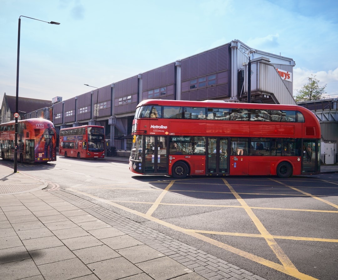
Google Maps has rolled out real-time bus tracking for all of England, a major upgrade for public transit navigation that brings the UK in line with other major markets.
The feature is particularly valuable for travelers and digital nomads navigating unfamiliar cities without cars.
What Changed
Previously, England's bus tracking on Google Maps was limited to certain cities and routes. Now, travelers can see exactly where buses are in real-time across the entire country, reducing the uncertainty that makes public transit stressful for visitors.
The update means you can check your phone and know whether the bus is two minutes away or twenty - critical information when deciding whether to sprint to the stop or grab coffee first.
Why It Matters for Travelers
For budget travelers who rely on public transportation, real-time tracking changes the game. It reduces wait times, confirms you're at the correct stop, and eliminates the anxiety of wondering if the bus already passed.
Digital nomads exploring cities while working remotely particularly benefit. Being able to accurately time bus arrivals means better control over schedules when juggling meetings and exploration.
Catching Up to Expectations
The rollout signals travel infrastructure finally catching up with traveler expectations in 2026. Real-time transit information has become standard in many global cities, from Tokyo to Singapore to New York.
England's comprehensive coverage now makes navigating cities like Manchester, Birmingham, and smaller towns significantly easier for international visitors who may not understand local bus systems.
The Digital Nomad Angle