The Arctic has crossed a threshold. After decades of gradual warming, the region has now entered what researchers are calling a "new regime" of extreme weather—one characterized by unprecedented variability and intensifying feedback loops that are already affecting weather patterns far beyond the polar circle.
The findings, published this week in Science Advances, represent more than just another grim climate milestone. This is a fundamental shift in how Earth's northern climate system operates, with implications for weather from Europe to North America to Asia.
The Arctic has always experienced weather extremes—that's nothing new. What is new is the frequency, intensity, and persistence of these events. Temperature swings that once occurred every few decades are now happening every few years. Winter warm spells that used to melt sea ice temporarily are now strong enough to trigger cascading effects across the entire climate system.
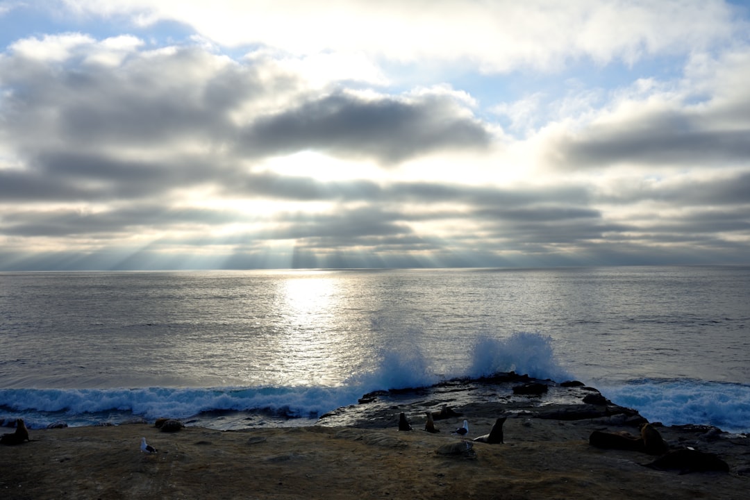
Here's what's happening: As Arctic sea ice shrinks (and it's shrinking dramatically—summer ice extent has declined roughly 13% per decade since satellite records began), the dark ocean water absorbs more sunlight instead of reflecting it back to space. This is the classic albedo feedback, and it's accelerating. Warmer oceans mean less ice forms in winter. Less ice means more ocean exposed the following summer. The cycle intensifies.
But that's just the beginning. The research documents how Arctic warming is now outpacing global averages by a factor of four—a phenomenon called Arctic amplification. This isn't just about polar bears (though it is about that too). When the Arctic warms faster than the rest of the planet, it reduces the temperature difference between polar and mid-latitude regions. And that temperature gradient is what drives the jet stream.
A weakened, wavier jet stream means weather patterns get stuck. Heat waves last longer. Cold snaps persist. Storms stall over one region instead of moving through. We've seen this play out in recent years: the deadly Pacific Northwest heat dome of 2021, prolonged winter freezes in Texas, catastrophic flooding in Western Europe. The Arctic's new regime isn't staying in the Arctic.