Australian meteorologists are reporting an unusual phenomenon that sounds like a glitch but might be the new normal: daily weather forecasts have become nearly identical across multiple days, pointing to stalled atmospheric patterns that could signal broader climate shifts.
The ABC investigation explores what happens when weather systems stop moving. Instead of the usual progression of fronts, high-pressure systems, and low-pressure troughs that create day-to-day variation, parts of Australia are experiencing persistent blocking patterns where the same conditions just sit there, day after day.
This might sound like a quirky weather story, but it's actually about climate change creating more stable, locked-in atmospheric patterns. And for Australia and the broader Pacific region, that has serious implications.
Blocking patterns aren't new. Meteorologists have always tracked high-pressure systems that park over a region and resist movement. But what's changing is the frequency and duration. Climate scientists have predicted that as the planet warms, we'd see more persistent weather patterns, both wet and dry. Australia's identical forecasts might be evidence that prediction is coming true.
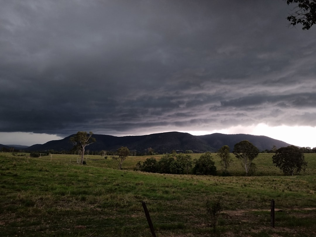
When weather patterns stall, the impacts multiply. A blocking high-pressure system doesn't just mean repeated sunny days. It means prolonged drought for some areas, extended heatwaves, and increased fire risk. Conversely, when a wet pattern locks in, flooding becomes more severe because the rain keeps coming with no break.
For Australia, a continent already prone to weather extremes, more persistent patterns mean those extremes last longer and hit harder. The country experienced this during the Black Summer bushfires, when prolonged drought and heat created catastrophic fire conditions. More recently, flooding in eastern Australia has been linked to atmospheric rivers that stalled over the same regions for days.
The ABC reporting shows that meteorologists are now issuing forecasts that look copy-pasted across a week, not because they're lazy or uncertain, but because that's literally what the atmospheric models show. The weather isn't changing because the systems aren't moving.
This matters for the Pacific Islands too. Australia's climate patterns are linked to broader Pacific atmospheric circulation, including the El Niño-Southern Oscillation and the Indian Ocean Dipole. When Australian weather gets stuck, it's often because Pacific-scale climate drivers are in unusual states. And what affects Australia affects the low-lying islands that depend on stable climate patterns for survival.
Pacific Island nations are watching Australian climate shifts as a bellwether for regional change. If blocking patterns become more common, that could mean more intense cyclones that linger longer, more severe droughts, and disrupted rainfall patterns that threaten food security and freshwater supplies.
Climate scientists emphasize that no single weather event or pattern proves climate change, but the trend is clear. As the atmosphere warms, the jet stream weakens and meanders, creating conditions where weather systems stall. That's exactly what Australia is experiencing.
For the public, identical forecasts feel surreal, almost boring. But boring weather can be dangerous weather when it means a heatwave that won't break or rain that won't stop. The lack of day-to-day variation isn't a forecasting failure, it's a climate signal.
The question is what Australia does with this information. Does it spur more aggressive climate action, better preparedness for extreme weather, and stronger support for Pacific Island nations facing the same shifts? Or do we just shrug at the weird forecast and move on?
Mate, when the weather forecast looks the same seven days in a row, that's not a glitch. That's climate change showing up in your daily life. And for a continent and a thousand islands down here in the Pacific, it's a warning we can't afford to ignore.