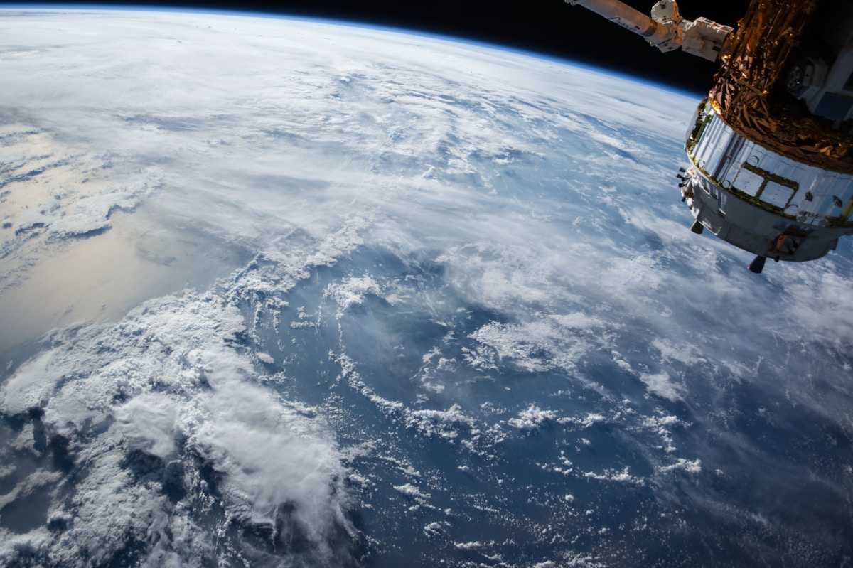
For the past decade, commercial satellite companies have democratized access to military intelligence. Journalists could see troop movements. Researchers could verify claims about infrastructure damage. The public could fact-check government narratives about what was really happening on the ground.
That era just hit a wall.
A major satellite imagery company has halted distribution of images covering the Iran conflict zone, citing a US government request. The move effectively blacks out independent verification of what's happening in one of the world's most significant military conflicts.
This isn't about national security in the traditional sense. The satellites are still taking pictures. Foreign intelligence agencies still have access to their own imagery. What's being restricted is press and public access to information that was, until recently, commercially available.
When I covered the space industry, one of the most exciting developments was how companies like Planet Labs and Maxar made satellite imagery accessible. Suddenly, investigative journalists didn't need government clearance to see what was happening in conflict zones. They could purchase images directly and verify claims independently.
That transparency cuts both ways. It reveals when governments lie about civilian casualties. It documents war crimes. It makes it harder to control the narrative. And apparently, that's exactly why it's being shut down.
The precedent here is dangerous. If the US government can request a blackout for one conflict, what stops them from doing it for others? What happens when commercial satellite operators become de facto arms of government information control?
There's also a practical problem: the blackout isn't comprehensive. It only affects companies that comply with US requests. Chinese and Russian satellites are still imaging the region. European companies face different regulatory pressures. What we're creating isn't information security - it's information asymmetry.
The technology that made Earth observable to everyone was supposed to be a tool for accountability. Turns out, when accountability becomes inconvenient, the tool gets turned off. The satellites are still up there, still taking pictures. We just can't see them anymore.